Atlas
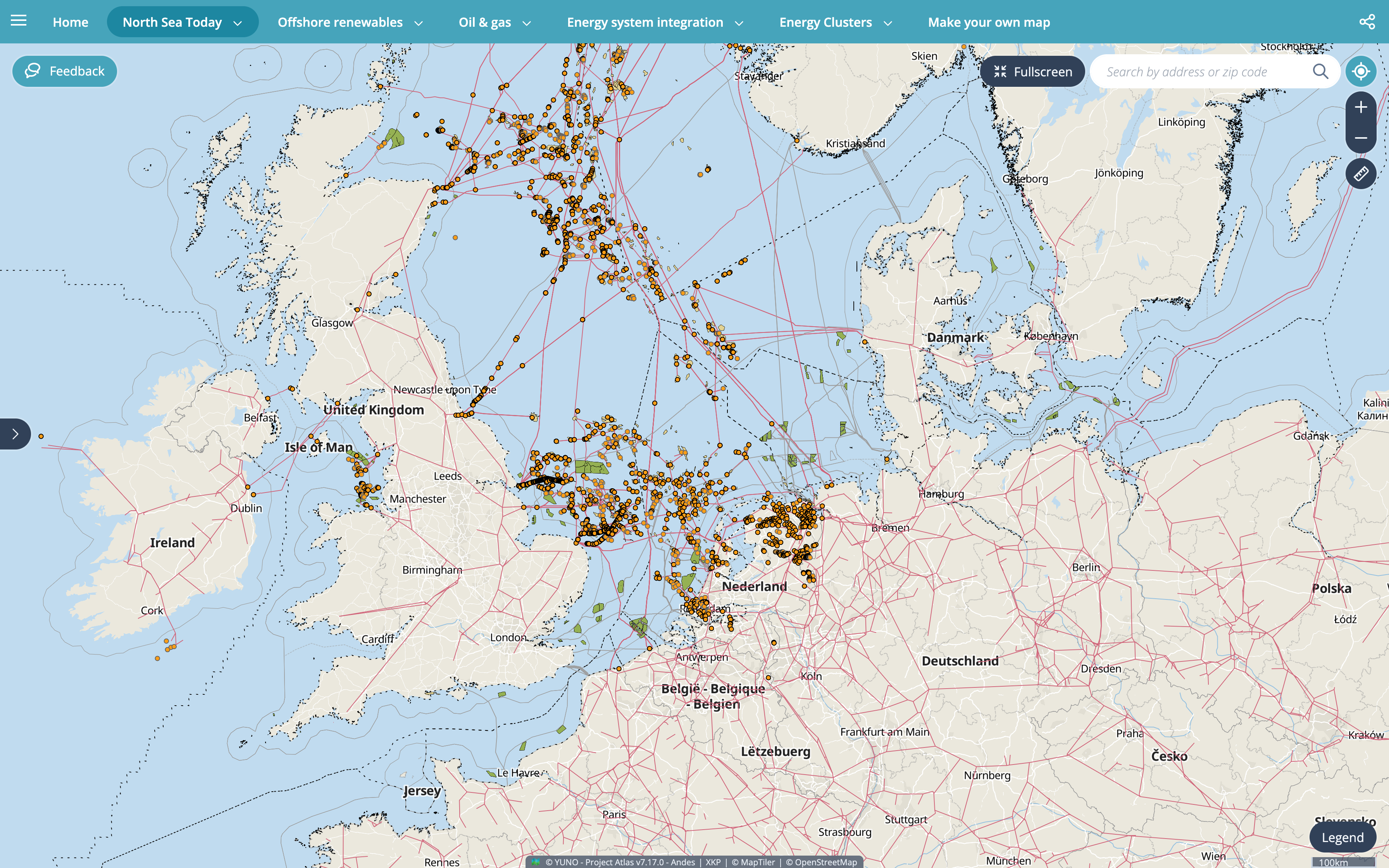
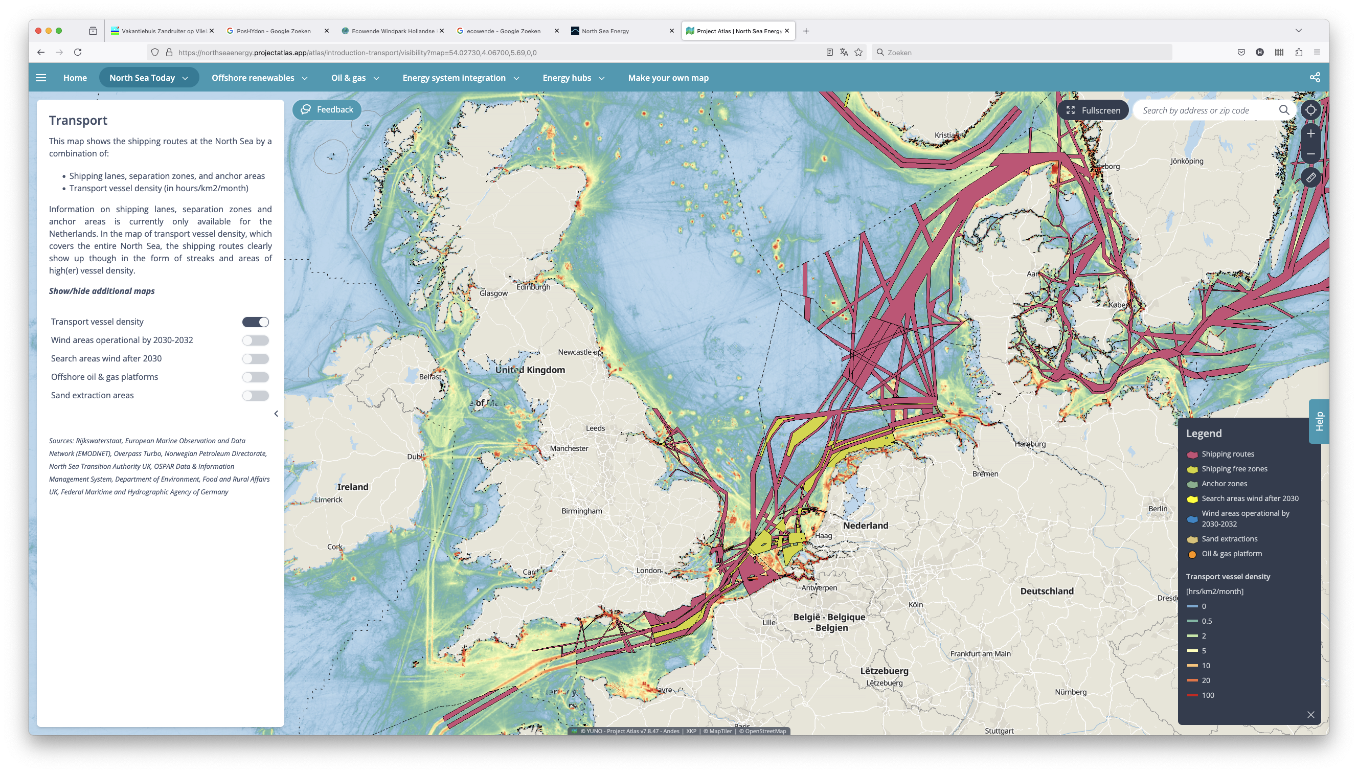
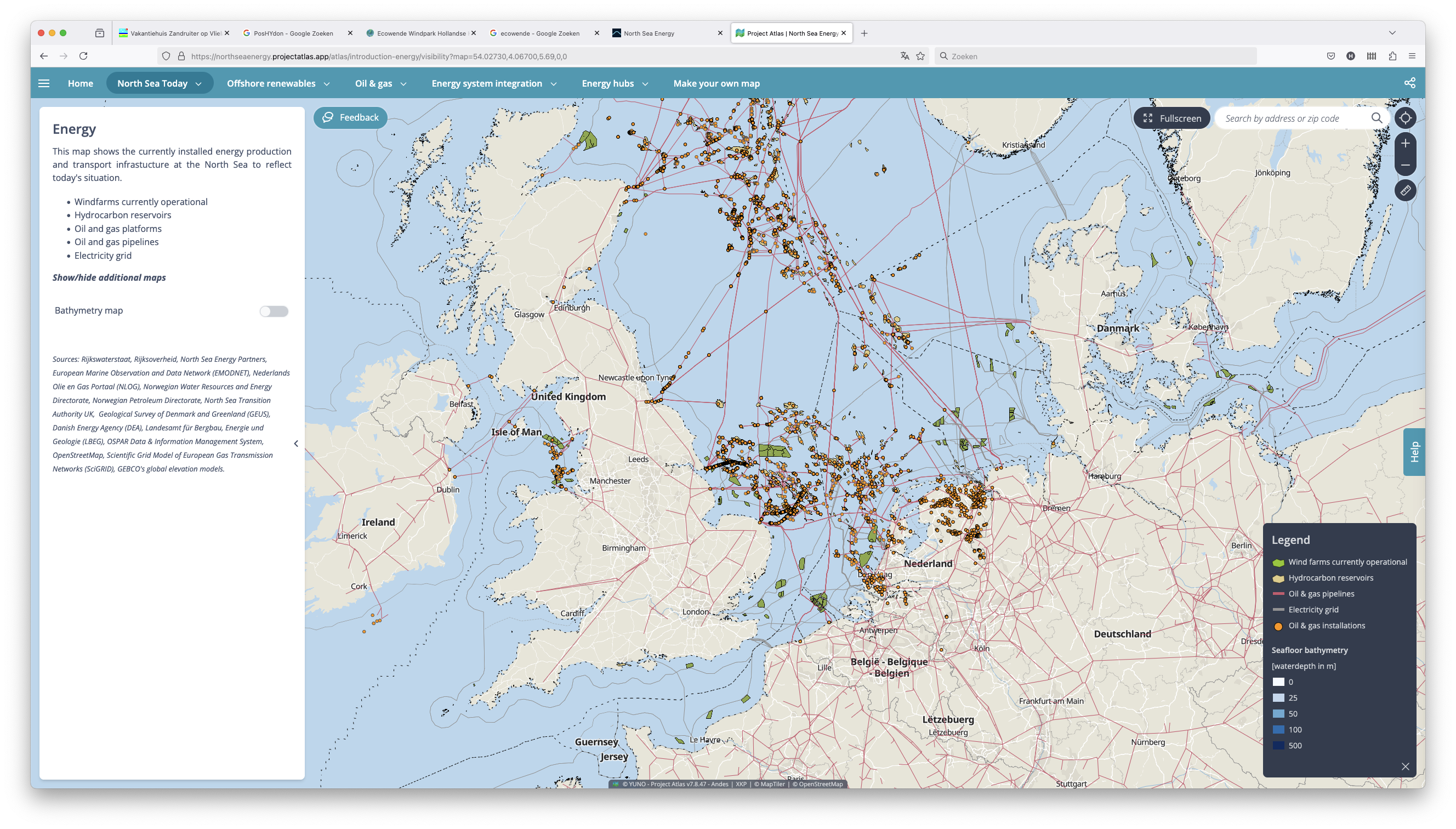
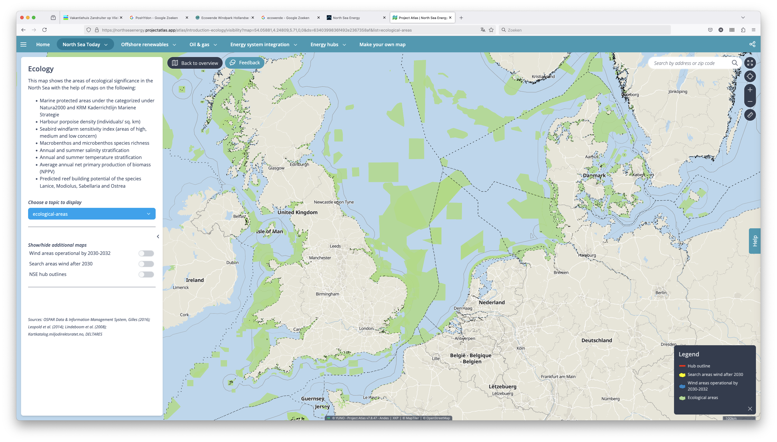
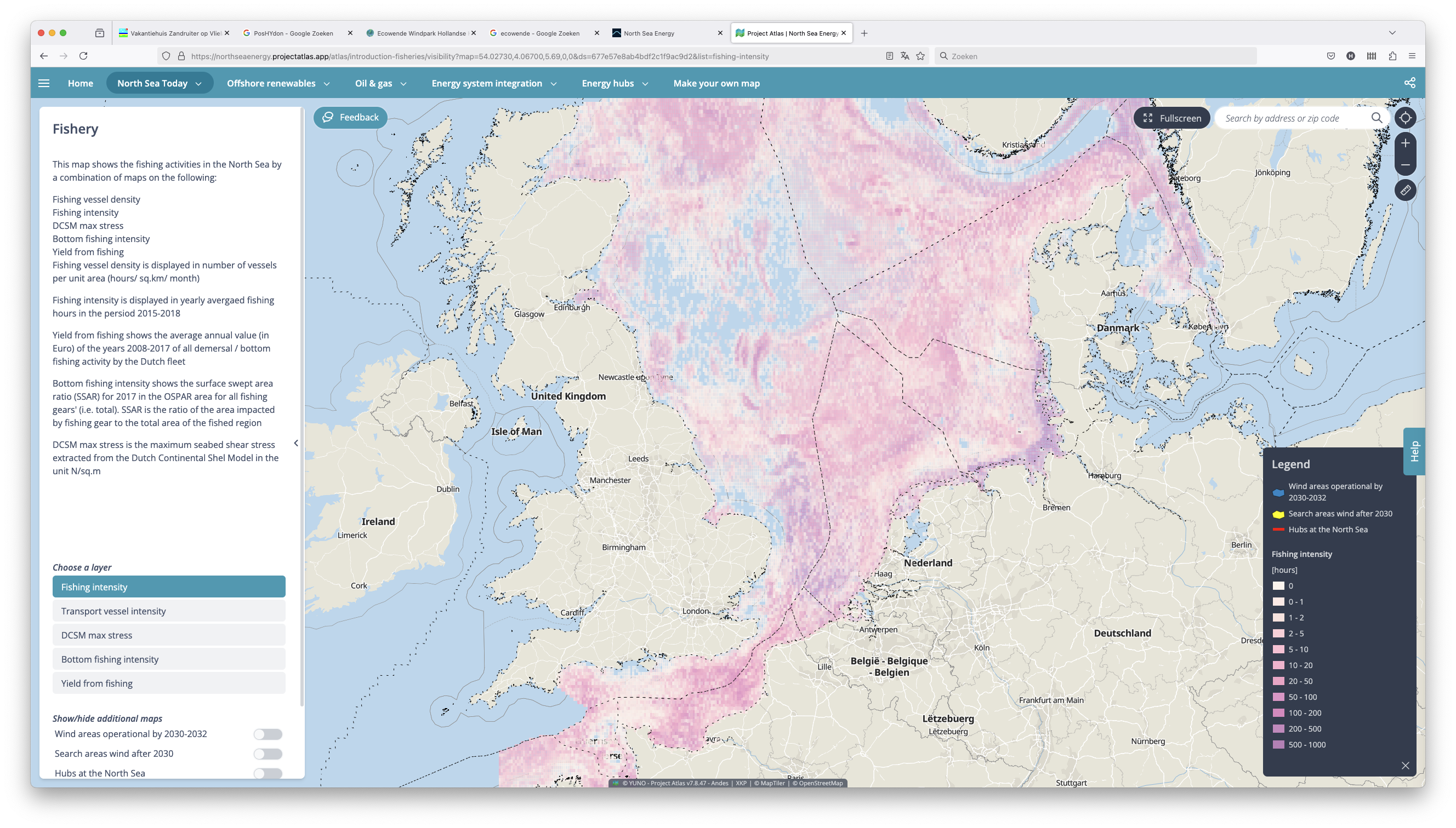
The International North Sea Energy Atlas is an interactive tool that offers a comprehensive overview of key activities in the North Sea related to energy, transport, ecology, fisheries, and defense.
Create your own maps in the Atlas
The North Sea Energy Atlas helps you to increase your understanding of the impact of the variables that drive the offshore energy transition.
The Atlas highlights planned wind energy expansion, electrification of platforms, hydrogen infrastructure, CO₂ storage potential, synergistic energy hubs. By creating your own maps you can visualize developments in these areas, and gain insights about the benefits and conflicts when energy functions are combined.
You can make your own maps based on your personal interest. By using the sliders in the Atlas you can create your own maps of the key activities on the North Sea, test your own assumptions of their impact and how they can be effected by the energy transition,
Gather insights and visualize future developments in the offshore energy system. Explore scenario's of the way forward.
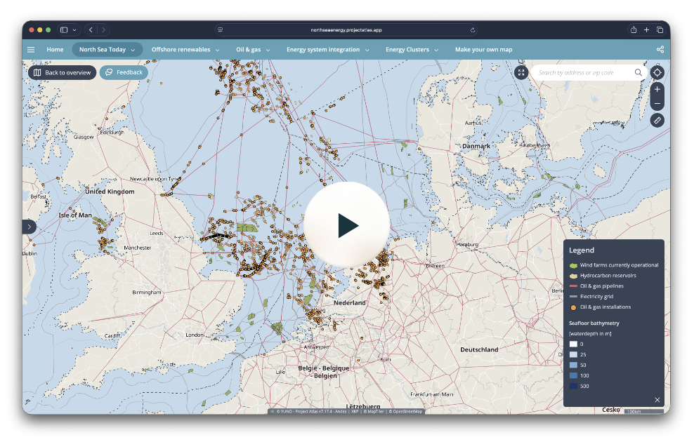
Want more information how to use it? Watch the tutorial.
The North Sea Energy Atlas can best explored in a separate browser window.
How to use the Atlas
Watch the tutorial by our colleague Aravind Satish, to quickly learn how to use the Atlas.
Stay up to date on the latest news
New research, insights and developments around the North Sea energy transition are constantly emerging. Get the most relevant updates from North Sea Energy delivered to your inbox.
Sign up for updates